 Kelowna
master planned community
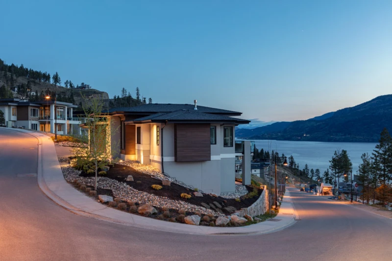
McKinley Beach
Resort style lakefront living with a marina and winery next door
Contemporary homes overlooking Okanagan Lake at McKinley Beach · local or nearby attractionKELOWNA / YOUR NEIGHBOURHOOD GUIDE
Hillside homes with the whole city spread out below
These are research starting points, not confirmation of catchment, admission or availability.
Dilworth Mountain, named for a Victoria alderman who owned land nearby, sat on the edge between Kelowna and the separate communities of Glenmore, Ellison and Rutland until 1973. Subdivisions climbed its slopes from the late 1980s, while 128 hectares of city parkland protect the peaks.
Mount Dilworth takes its name from the late Alderman Dilworth of Victoria, who lived in the Kelowna area for many years and held property near the mountain. The province adopted the name in 1922 from a 1915 map. For most of the 20th century the mountain was rock, pine and grassland on a boundary, not a destination. It sat where the City of Kelowna met the separate communities of Glenmore, Ellison and Rutland, so no single town grew toward it. Two changes put it at the centre. Orchard Park shopping centre opened at its foot in 1971, and in 1973 Glenmore and Rutland were amalgamated into Kelowna.
Housing followed from the late 1980s, starting on the lower slopes and terraces and working up the mountain in phases. Instead of building on every summit, the rocky high points and gullies between phases were kept as parkland, which now forms Dilworth Mountain Park at about 128 hectares. Trails climb roughly 300 metres above the valley and pass arrowleaf balsamroot, Kelowna's official flower, in spring. Change is not finished. In January 2024 council unanimously approved rezoning on the south side of the mountain, beside the Okanagan Rail Trail, for about 650 homes, mostly apartments at the base. The deal transfers 25 per cent of the site as parkland and dedicates land for a future Clement Avenue extension, part of the planned Highway 33 link.
Detached hillside homes built in phases from the late 1980s to about 2015, many with walkout lower levels, plus townhomes and condos near the base. A new wave of mostly apartment housing (about 650 units) was approved for the south base in 2024.
Building age, tenure, amenities and permitted uses vary by address. Explore the actual property documents with Elaine and the appropriate specialists.
The late Alderman Dilworth of Victoria, who lived in the Kelowna area for many years and held property near the mountain.
Subdivisions began on the lower slopes in the late 1980s and moved up the mountain in phases, with the last hillside phase finished around 2015.
Yes. In January 2024 council approved rezoning for about 650 homes, mostly apartments, on the south side near the Okanagan Rail Trail.
Editorial research supplied September 30, 2026. Historical accounts can differ; development references describe the research date and do not confirm current approvals or completion. Detailed origin stories have been held back where the supplied research identified insufficient evidence.
Regional outings, not amenities within this neighbourhood. Travel depends on your starting address, route and winter road conditions.
bigwhite.com · winter activities
This editorial guide draws on the supplied neighbourhood research. Amenities, businesses, dog rules, development plans and access can change. Confirm details with the operator, municipality, school district and property documents before relying on them. Map areas and centres are approximate; they are not legal boundaries or catchments.
Kelownamaster planned community
Resort style lakefront living with a marina and winery next door
Contemporary homes overlooking Okanagan Lake at McKinley Beach · local or nearby attraction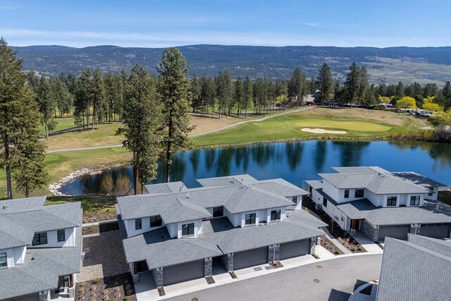
 Kelowna
neighbourhood
Campus energy, golf greens and a five minute hop to YLW
Homes beside a golf course and pond in Quail Ridge · neighbourhood view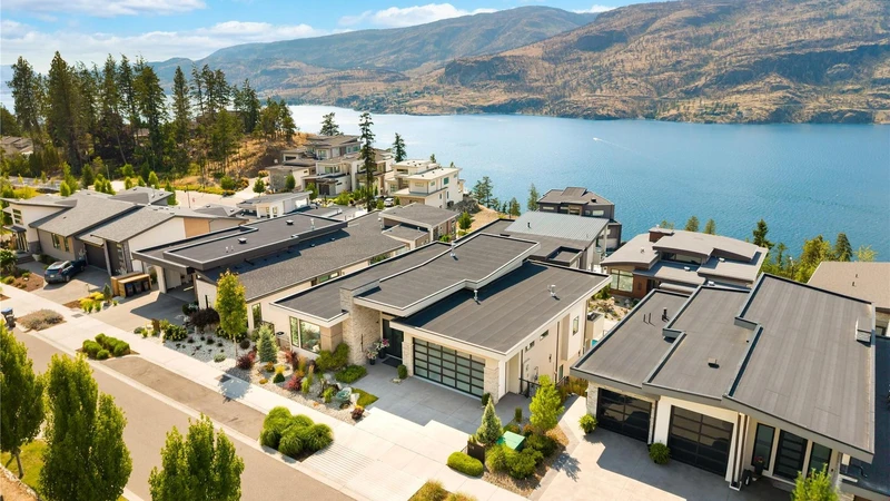
 Kelowna
neighbourhood
Quiet hillside roads, lake sunsets and room to breathe
Hillside homes overlooking Okanagan Lake in the Clifton / McKinley Landing area · neighbourhood viewYOUR NEXT CHAPTER IS PERSONAL
You bring the possibilities.
Elaine helps make the plan.