 Vernon
resort community
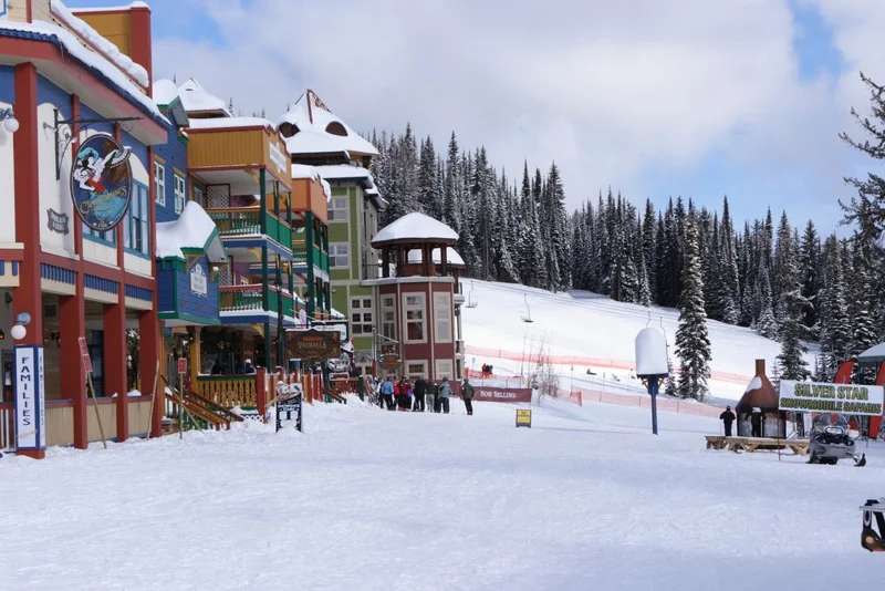
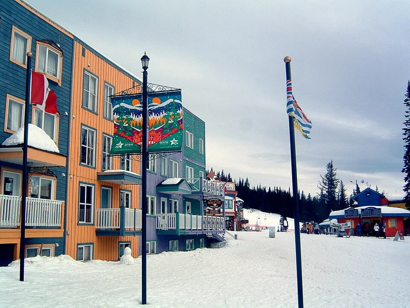
Silver Star Mountain
A Victorian style ski village with Nordic trails at your door
Silver Star Mountain and Ski Resort · local or nearby attractionVERNON / YOUR NEIGHBOURHOOD GUIDE
Big views on the road to SilverStar
These are research starting points, not confirmation of catchment, admission or availability.
The Foothills is a hillside Vernon neighbourhood on the lower slopes of Silver Star Mountain, above the rural BX. A sewer trunk main arrived in 1986, the first residential lots were created in 1987, building peaked between 2005 and 2009, and a 2013 neighbourhood plan maps room for about 1,944 homes.
The Foothills climbs the western flank of Silver Star Mountain between Silver Star Road and the BX, a rural district named for the horse ranch Francis Barnard started north of Vernon in 1864. Below and across the slope runs the Grey Canal, the gravity irrigation ditch built between 1906 and 1914 that carried water to orchards and farms until 1970. Today its old route doubles as the Grey Canal Trail through the neighbourhood. Suburban growth followed services. A sanitary sewer trunk main was extended up the hill in 1986, and the first residential lots were created in 1987. Building carried on through the 1990s, and the busiest stretch came between 2005 and 2009. Census counts for the plan area rose from 831 people in 2006 to 1,361 in 2011, and in 2008 about 212 acres of private land were annexed into the city.
Vernon adopted the Foothills Neighbourhood Plan in October 2013. At that point the area held 521 homes, 478 of them single family houses, and the plan allowed for about 1,944 units at full build out. Water comes from the Greater Vernon Water utility through pump stations and reservoirs, and Silver Star Road is the main way in and out. Today the Foothills reads as a newer view neighbourhood with big looks over the valley and lakes. Many streets carry ski hill names such as Apex, Nakiska, Sun Peaks and Red Mountain. Much of the land is steep, some of it over 30 percent grade, and it sits inside the city's wildfire interface area, so slope, drainage and FireSmart checks belong on every buyer's list.
Lots from 1987 on, with most homes built from the 1990s to the 2010s: detached family houses, custom view homes and walkout ranchers, plus a small share of townhomes (43 of 521 homes were multifamily in 2013). Mostly freehold.
Building age, tenure, amenities and permitted uses vary by address. Explore the actual property documents with Elaine and the appropriate specialists.
The first residential lots were created in 1987, after a sewer trunk main reached the area in 1986. Building continued through the 1990s and peaked between 2005 and 2009.
It is inside the City of Vernon and gets city services, though it borders the rural BX in the Regional District of North Okanagan.
The 2013 Foothills Neighbourhood Plan counted 521 homes and allows for about 1,944 units at full build out under its maximum densities.
Editorial research supplied September 30, 2026. Historical accounts can differ; development references describe the research date and do not confirm current approvals or completion. Detailed origin stories have been held back where the supplied research identified insufficient evidence.
Regional outings, not amenities within this neighbourhood. Travel depends on your starting address, route and winter road conditions.
skisilverstar.com · winter activities · sovereignlake.com · winter activities
This editorial guide draws on the supplied neighbourhood research. Amenities, businesses, dog rules, development plans and access can change. Confirm details with the operator, municipality, school district and property documents before relying on them. Map areas and centres are approximate; they are not legal boundaries or catchments.
Vernonresort community
A Victorian style ski village with Nordic trails at your door
Silver Star Mountain and Ski Resort · local or nearby attraction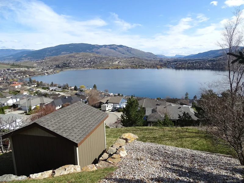
 Vernon
master planned community
Newer view homes on a volcanic hilltop above Swan Lake
View over Kalamalka Lake and Coldstream Valley from Kickwillie Loop - Vernon - BC - Canada · regional photograph Vernon
master planned community
Fred Couples golf 1,000 feet above Okanagan Lake
View over Kalamalka Lake and Coldstream Valley from Kickwillie Loop - Vernon - BC - Canada · regional photographYOUR NEXT CHAPTER IS PERSONAL
You bring the possibilities.
Elaine helps make the plan.