 Kelowna
master planned community
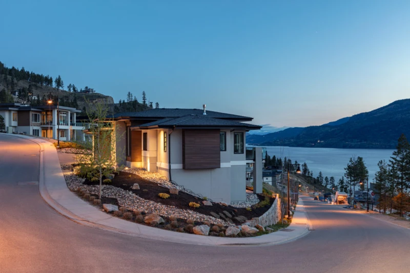
McKinley Beach
Resort style lakefront living with a marina and winery next door
Contemporary homes overlooking Okanagan Lake at McKinley Beach · local or nearby attractionKELOWNA / YOUR NEIGHBOURHOOD GUIDE
Kelowna's classic family valley, minutes from everything
These are research starting points, not confirmation of catchment, admission or availability.
Glenmore was once called Dry Valley, and its flats were nicknamed Starvation Flats until irrigation turned them into orchards in the early 1900s. It became its own municipality in 1922, gave up its charter in 1960 when its southern part joined Kelowna, and the rest followed in 1973. Much of the older housing dates from 1960s subdivisions, with newer homes toward North Glenmore.
The broad valley north of downtown Kelowna had a blunt early name: Dry Valley. Settlers knew the land around today's Glenmore Road as Starvation Flats, a name that hints at how dry it was before irrigation. That changed with irrigation. The first water licence in the valley dates to 1885, and in the early 1900s the Central Okanagan Land and Orchards Company brought in water and subdivided the valley for orchards. In 1907 the company built a five mile ditch from Kelowna Creek. Private water schemes struggled after the First World War, and in 1921 the Glenmore Irrigation District received its letters patent. A year later, in 1922, Glenmore incorporated as its own municipality.
In 1960 the municipality agreed to unincorporate, and its southern properties, including the Kelowna Golf Club and the cemetery, joined the city. Suburban streets arrived through the 1960s in the part now called Old Glenmore, and in 1973 the rest of Glenmore was amalgamated into a greater Kelowna along with Rutland and Okanagan Mission. Since then the valley has filled with crescents of family homes, schools and parks, and newer townhomes have spread north toward the landfill and North Glenmore. The irrigation district, later the Glenmore Ellison Improvement District, began joining the City water utility in January 2025. In August 2023 the Walroy Lake fire, sparked by McDougall Creek embers, destroyed three homes along Glenmore Road near the landfill. The valley floor is also gaining a hub: ground was broken in April 2026 on the Glenmore Activity Centre, with a gym and library branch due in winter 2027.
Old Glenmore streets date mainly from 1960s subdivisions, with split levels and ranchers on quiet crescents. Housing gets newer heading north, with 1990s and later family homes and more townhomes and low rise condos toward North Glenmore. A mix of freehold houses and strata townhomes.
Building age, tenure, amenities and permitted uses vary by address. Explore the actual property documents with Elaine and the appropriate specialists.
In stages. Glenmore became a municipality in 1922, gave up its charter in 1960 when its southern area joined Kelowna, and the remaining rural area was amalgamated in 1973 along with Rutland and Okanagan Mission.
The valley was known as Dry Valley, and the flats near Glenmore Road were nicknamed Starvation Flats before irrigation.
Historically the Glenmore Ellison Improvement District. It began transitioning into the City of Kelowna's water utility on January 1, 2025, with the process running to 2027.
Editorial research supplied September 30, 2026. Historical accounts can differ; development references describe the research date and do not confirm current approvals or completion. Detailed origin stories have been held back where the supplied research identified insufficient evidence.
Regional outings, not amenities within this neighbourhood. Travel depends on your starting address, route and winter road conditions.
bigwhite.com · winter activities
This editorial guide draws on the supplied neighbourhood research. Amenities, businesses, dog rules, development plans and access can change. Confirm details with the operator, municipality, school district and property documents before relying on them. Map areas and centres are approximate; they are not legal boundaries or catchments.
Kelownamaster planned community
Resort style lakefront living with a marina and winery next door
Contemporary homes overlooking Okanagan Lake at McKinley Beach · local or nearby attraction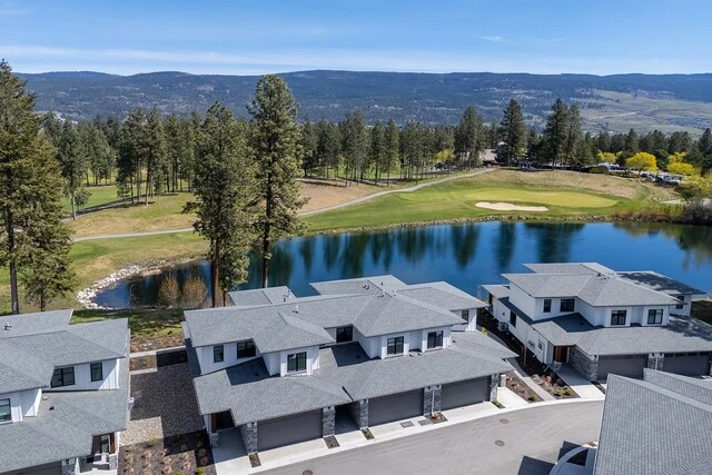
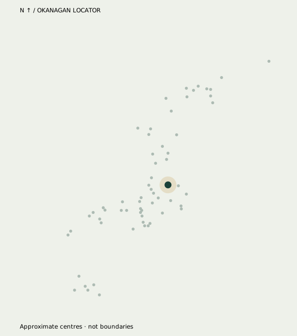 Kelowna
neighbourhood
Campus energy, golf greens and a five minute hop to YLW
Homes beside a golf course and pond in Quail Ridge · neighbourhood view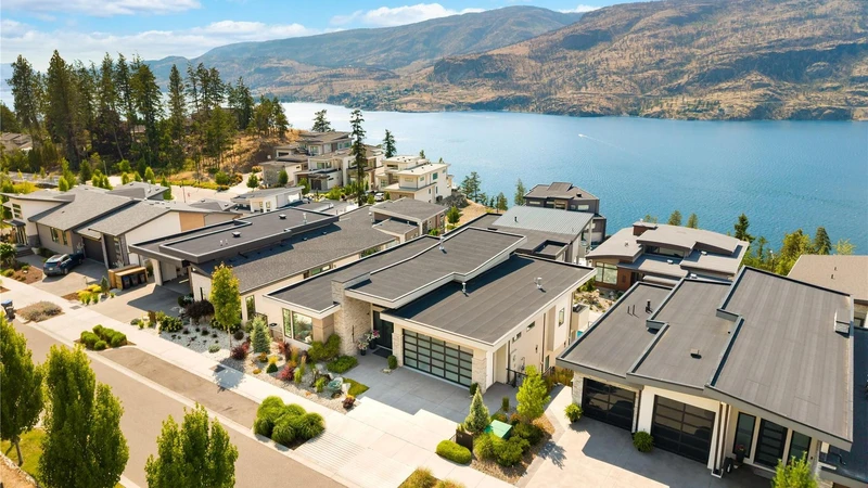
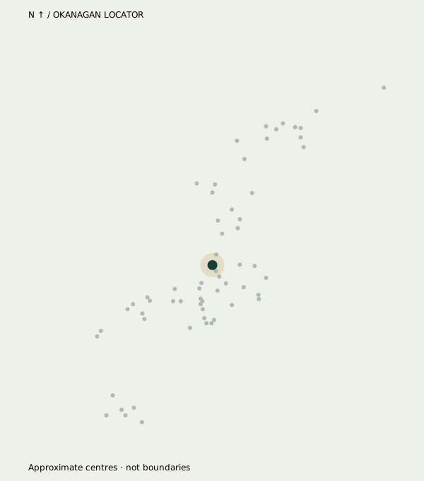 Kelowna
neighbourhood
Quiet hillside roads, lake sunsets and room to breathe
Hillside homes overlooking Okanagan Lake in the Clifton / McKinley Landing area · neighbourhood viewYOUR NEXT CHAPTER IS PERSONAL
You bring the possibilities.
Elaine helps make the plan.