 Kelowna
master planned community
McKinley Beach
Resort style lakefront living with a marina and winery next door
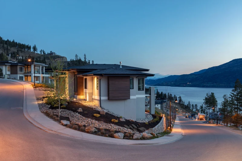
Contemporary homes overlooking Okanagan Lake at McKinley Beach · local or nearby attractionKELOWNA / YOUR NEIGHBOURHOOD GUIDE
Orchards, wineries and country roads fifteen minutes from downtown
These are research starting points, not confirmation of catchment, admission or availability.
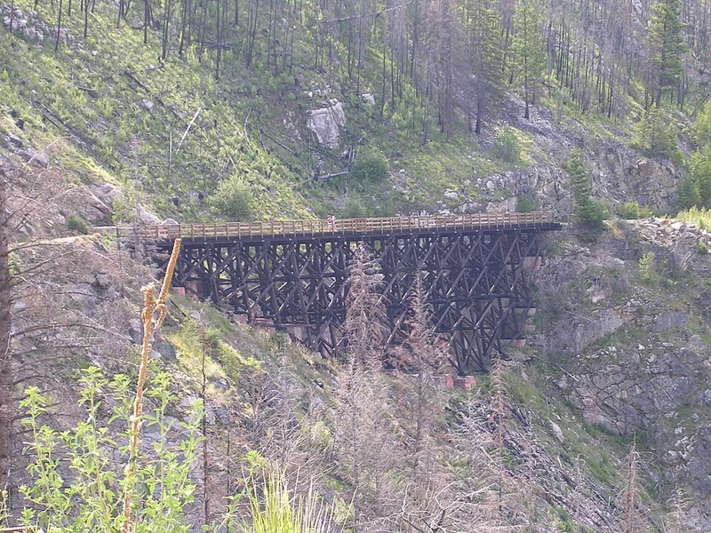
Southeast Kelowna is the city's orchard bench country. It opened up after the Kelowna Land and Orchard Company bought 6,500 acres south of Mission Creek in 1904, with irrigation works from 1911 and an irrigation district from 1920. Much of it is still farmland, now on City water, with the rebuilt Myra Canyon trestles above.
The benches east of the Mission stayed dry range until irrigation made orchards possible. In 1904 T. W. Stirling, W. R. Pooley and E. M. Carruthers formed the Kelowna Land and Orchard Company, known as KLO, and bought 6,500 acres south of Mission Creek to water and subdivide. KLO Road, named for the company, became the way up to the benches. An East Kelowna post office opened in 1909.
By 1911 nearly 200 settlers lived in East Kelowna, the Canyon Creek Irrigation Company was building ditches, flumes and dams, and pack trains hauled supplies up KLO Road to irrigation camps and to Kettle Valley Railway crews in Myra Canyon. KLO went bankrupt in 1923, but the orchards carried on. The South East Kelowna Irrigation District was incorporated in 1920 and grew to serve nearly 9,000 acres, more than a fifth of today's city. Neighbours built the East Kelowna Community Hall with volunteer labour, and it opened in 1940. Gallagher's Canyon golf course followed in 1980. In August 2003 the Okanagan Mountain Park fire burned through Myra Canyon and destroyed most of its historic wooden trestles, just after the Kettle Valley Railway had been named a National Historic Site. The trestles were rebuilt by 2008. In 2018 the City took over the irrigation district and split drinking water from farm irrigation, bringing treated water to more than 2,000 homes. Today the 2040 OCP keeps urban growth inside a Permanent Growth Boundary and discourages subdividing farmland, so the area remains a landscape of orchards, vineyards and acreages.
Mostly farms, orchards, vineyards and rural homes on acreages, with golf course homes around Gallagher's Canyon, where the Canyon course opened in 1980, treed half acre lots near Hall Road and some manufactured home parks. Most properties are detached homes on their own land, and many rely on wells or septic.
Building age, tenure, amenities and permitted uses vary by address. Explore the actual property documents with Elaine and the appropriate specialists.
KLO stands for the Kelowna Land and Orchard Company, formed in 1904 to buy, irrigate and subdivide 6,500 acres south of Mission Creek. KLO Road was named for it.
The City of Kelowna has run the former South East Kelowna Irrigation District system since June 4, 2018, with separate domestic and agricultural services.
Large parts of it are farmland, including ALR parcels, and the 2040 OCP keeps urban growth out of these rural areas. Check the ALR status of any specific parcel with the City or the Agricultural Land Commission.
Editorial research supplied September 30, 2026. Historical accounts can differ; development references describe the research date and do not confirm current approvals or completion. Detailed origin stories have been held back where the supplied research identified insufficient evidence.
Regional outings, not amenities within this neighbourhood. Travel depends on your starting address, route and winter road conditions.
bigwhite.com · winter activities
This editorial guide draws on the supplied neighbourhood research. Amenities, businesses, dog rules, development plans and access can change. Confirm details with the operator, municipality, school district and property documents before relying on them. Map areas and centres are approximate; they are not legal boundaries or catchments.
Kelownamaster planned community
Resort style lakefront living with a marina and winery next door
Contemporary homes overlooking Okanagan Lake at McKinley Beach · local or nearby attraction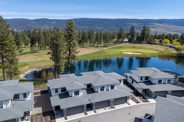
 Kelowna
neighbourhood
Campus energy, golf greens and a five minute hop to YLW
Homes beside a golf course and pond in Quail Ridge · neighbourhood view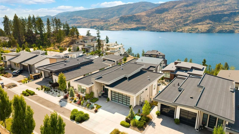
 Kelowna
neighbourhood
Quiet hillside roads, lake sunsets and room to breathe
Hillside homes overlooking Okanagan Lake in the Clifton / McKinley Landing area · neighbourhood viewYOUR NEXT CHAPTER IS PERSONAL
You bring the possibilities.
Elaine helps make the plan.