 Kelowna
master planned community
McKinley Beach
Resort style lakefront living with a marina and winery next door
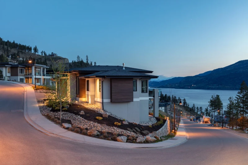
Contemporary homes overlooking Okanagan Lake at McKinley Beach · local or nearby attractionKELOWNA / YOUR NEIGHBOURHOOD GUIDE
Big views, newer homes and trailheads close to the front door
These are research starting points, not confirmation of catchment, admission or availability.
Upper Mission is the hillside half of Kelowna's Okanagan Mission, a name that took hold after the district joined the city in 1973. Built mostly from the 1980s on, its view neighbourhoods include Kettle Valley, The Ponds and Crawford Estates. The 2003 Okanagan Mountain Park fire burned homes across it, and the area has since rebuilt and filled in.
The benches above Lakeshore Road climb toward Okanagan Mountain, which became a provincial park in 1973, the same year Okanagan Mission joined Kelowna. For most of the district's history, people lived below on the lakeside delta, and the terraces above were only built up in recent decades. Homes here date mainly from the 1980s to today, on lots of roughly a quarter acre to more than an acre, many angled for lake views. As the hills filled in, locals started calling this area the Upper Mission to set it apart from the flat Lower Mission. Several planned pockets gave the area its shape. Kettle Valley was planned from the mid 1990s as a walkable village, The Ponds grew around a park and a village centre on Frost Road, and Crawford Estates spread across a terrace of large lots. Southridge, Okaview and Timberline each have their own character.
The defining event came in August 2003. Lightning started a fire in Okanagan Mountain Park on August 16, and on August 22 strong winds pushed it into the suburbs. Homes burned in Crawford Estates, Kettle Valley, Viewcrest, Okaview, Chute Lake, Barnaby, Timberline, Rimrock Road and along Lakeshore Road. Across the city, 239 homes were destroyed and about 27,000 people were evacuated, but no lives were lost. The provincial park reopened in 2005. Neighbourhoods rebuilt, Quilchena Park in Kettle Valley was remade, and Canyon Falls Middle School opened in 2019 after local schools became crowded.
Mainly 1980s to present: hillside view homes, walkout ranchers and executive custom homes on lots of about 0.25 to more than 1 acre, plus newer townhomes and some bare land strata. Many homes on burned streets were rebuilt after 2003.
Building age, tenure, amenities and permitted uses vary by address. Explore the actual property documents with Elaine and the appropriate specialists.
Most homes date from the 1980s to the present. The hillside terraces were built up in recent decades, well after early settlement on the lakeside delta.
Yes. On August 22, 2003 the Okanagan Mountain Park fire destroyed homes in Crawford Estates, Kettle Valley, Viewcrest, Okaview, Chute Lake, Barnaby, Timberline, Rimrock Road and along Lakeshore Road.
The Upper Mission takes in hillside areas such as Kettle Valley, The Ponds, Southridge, Okaview and Timberline, with Crawford Estates on a terrace nearby.
Editorial research supplied September 30, 2026. Historical accounts can differ; development references describe the research date and do not confirm current approvals or completion. Detailed origin stories have been held back where the supplied research identified insufficient evidence.
Regional outings, not amenities within this neighbourhood. Travel depends on your starting address, route and winter road conditions.
bigwhite.com · winter activities
This editorial guide draws on the supplied neighbourhood research. Amenities, businesses, dog rules, development plans and access can change. Confirm details with the operator, municipality, school district and property documents before relying on them. Map areas and centres are approximate; they are not legal boundaries or catchments.
Kelownamaster planned community
Resort style lakefront living with a marina and winery next door
Contemporary homes overlooking Okanagan Lake at McKinley Beach · local or nearby attraction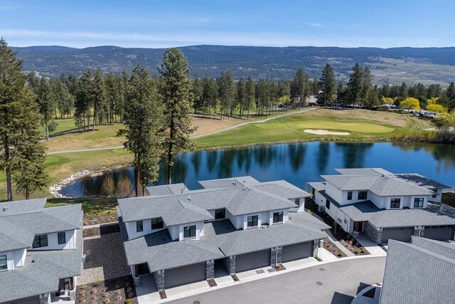
 Kelowna
neighbourhood
Campus energy, golf greens and a five minute hop to YLW
Homes beside a golf course and pond in Quail Ridge · neighbourhood view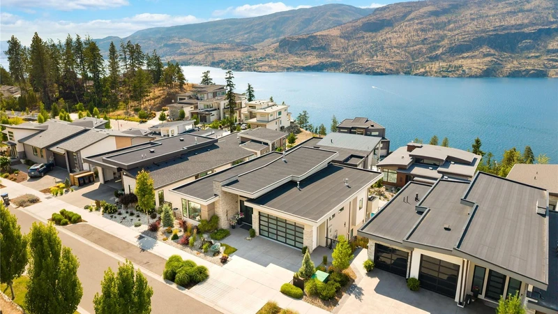
 Kelowna
neighbourhood
Quiet hillside roads, lake sunsets and room to breathe
Hillside homes overlooking Okanagan Lake in the Clifton / McKinley Landing area · neighbourhood viewYOUR NEXT CHAPTER IS PERSONAL
You bring the possibilities.
Elaine helps make the plan.